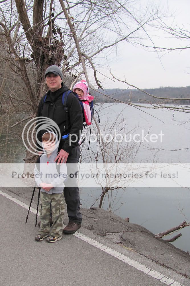
I promised Mr. C a hike today, so as soon as I got home from floating a swollen Harpeth River, the whole family loaded up and headed over to the west entrance to Radnor State Park. We wound up hiking the short Lake Trail (1.4 miles) and then made a loop around the lake by returning via Otter Creek Road. All in all, we walked about 2.75 miles with a short break right in the middle of the hike. Below is the track captured by my GPS handheld.
Radnor Lake Trail
Click pictures to enlarge.
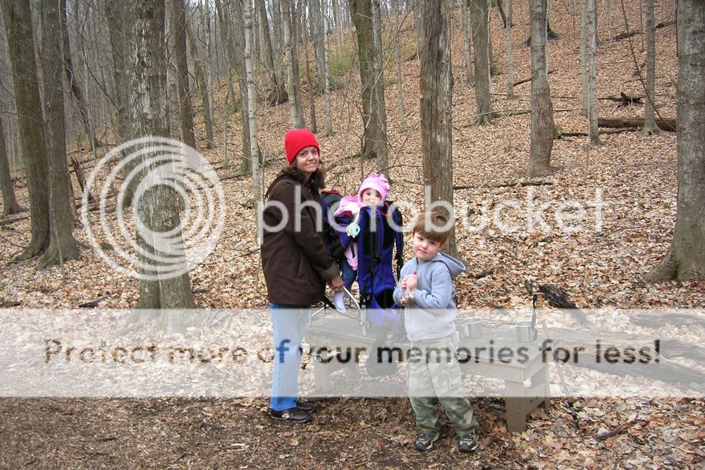


It turns out that C isn't the only one who likes hot chocolate in the great outdoors. I spoon-fed E a little of the drink, and she kept watching me and opening her mouth for more. She seemed to enjoy the hike, staying awake for about three-quarters of the way, but by the time we hit the parking lot, she'd fallen into a deep slumber.


At the Visitor's Center, we found a good park brochure offered by Friends of Radnor Lake. The included map is similar to those posted near each park entrance and offers both trail-length information as well as difficulty assessments for the various trails. Below is a scan I made from the map portion.
Click map to enlarge.

Showing posts with label map. Show all posts
Showing posts with label map. Show all posts
Saturday, January 23, 2010
Radnor Lake Trail




Tuesday, August 4, 2009
Hamilton Creek East
Technical. Technical. Technical.
Since I started mountain biking, that's all I've heard about Hamilton Creek, Davidson County's only mountain bike trail. In fact, I was warned not to make it my first ride when I bought my bike. So instead, I hit trails like Long Hunter, Lock 4, Montgomery Bell, and Chickasaw. Turns out that choice was probably a wise one.
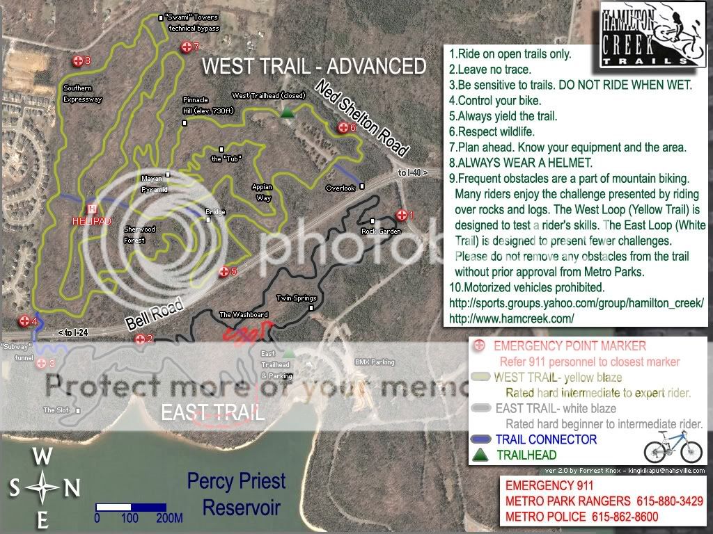
Today, I rode part of the East or "easy" side of Hamilton Creek and found out what technical means. Rocks and roots with the occasional tree thrown in. This loop, which sits on the east side of Bell Road next to Percy Priest Lake, is billed as follows:
The Lakeside Trail (sometimes referred to as the “Novice Loop” or “East Trail”) winds through 3.3 miles of cedar groves and limestone rock outcroppings giving the rider a unique “single-track” experience. There is nothing “novice” about this trail. Some features and challenges of this trail include log jumps, the “Triple Op Drop,” the “Photo Op Drop” (where riders frequently take pictures of fellow riders riding off this two-foot drop), and “The Slot” (aka: Rock Moguls Field). When rehabilitation of this trail is complete, the Lakeside Trail will stretch about 5 miles with more views of the lake.
Though I thought I followed the trail signs correctly, once I got home and compared my Garmin track to the trail map, I realized that I had only ridden the upper half of the East Loop. Oh well, the unseen portion will give me something to look forward to next time.
I ran this upper section twice, so I did total a little over 3 miles. On the first run, I purposely came out of my clips probably a dozen times, mostly in vertical ascents/descents with a high granite factor. I was pretty cautious, given that I was riding alone and that there were only a couple of cars at the trailhead. On the second attempt, after I'd seen some of the lines, I took it to some rooty/rocky climbs and ground them out. This time, I kept count and found that I had to walk my bike over/around 6 spots--either jumps, rocky stretches where I couldn't find the line, or in one case, a big tree. There weren't that many runs where I could just let it out and flow with the trail until the very end of my loop. Maybe there are more in the south section I didn't ride.
It's not a track for beginners, but it's rideable for me since I have no problem swallowing my pride and walking the bike in spots. Of the 6 places I dismounted, there are a couple that will take a while to master. Still, I'll go back and work on the East Trail. It's close by, and it's a fair test of my skills at this point. I don't know if I'm an "advanced beginner" or an "intermediate" rider, but I think that, with some practice, I can get it around that trail pretty soon.
Well, if it weren't for the big tree...


Hamilton Creek East at EveryTrail
Map created by EveryTrail: Geotagging Community
Subscribe to:
Posts (Atom)