Couchville Kayak Trip

 Six kayakers from three states convened at the Harpeth River on Saturday for a 30-mile, overnight float. Because of heavy area rains, the river had crested at 7.76 feet, started down, and then started back up again. We watched the hydrologic graphs with some trepidation, fearing the river would shoot up to the predicted 10+ feet. Thanks (we think) to the friendly guy down at Cheatham Lock, the river never got that high, and by the time we hit the water at Newsom's Mill, the Harpeth level was under 7 feet. It was still high and moving briskly, but not nearly as "flooded" as the folks at Tip-A-Canoe would have us think. Our ultimate destination on day one, 20+ miles downriver, was the Highway 70 bridge and the campground at Tip-A-Canoe.
 Team Essence, middle Tennessee's premier sea-kayaking team, hit the little boats today for a December run on the Harpeth. We watched the river gauge all week and decided to pull the trigger when water levels at our planned put-in stayed above 2.5 feet. Right out of the gate, my kayak scrubbed bottom, but from there, we had clear paddling for the next 12+ miles. Our trip took us from the Highway 100 bridge northwest to the Hidden Lakes access. Along the way, we navigated a few rapids (see video below), but for the most part, the river offered up a calm, steady flow. The scenery, on the other hand, was less tranquil at times since the river path passed through urban sprawl and alongside busy thoroughfares. Nevertheless, we completed one more Harpeth leg in the area, and the missing link is now the roughly 9-mile portion from Hidden Lakes to the Highway 249 bridge. If we are able to make that trip soon, we will have paddled a contiguous 50-mile stretch of the Harpeth.
Harpeth in December
 Yesterday, I took a break from work to rendezvous with some Kentucky friends for a quick paddle around the Harpeth Narrows. The weather and water were perfect, and we enjoyed a temperate beginning-of-fall day with Harpeth water levels right around 2.5 feet. My companions launched at the Highway 249 access, and I timed our meetup at the state-park pretty well. I paddled up-river about a half mile, and there they were. It was a fairly busy river, but people were nice, with the exception of one frustrated soul who probably should have stayed home and watched football. At the end of the float, we paddled up the inlet to the lower side of the Monty Bell tunnel and took a few pictures. All in all, just a fantastic day on the water. Well, except for the snake my friend thought I wanted to see up-close. They must have different attitudes about snakes up there in Kentucky.
As we were doing final pack-up, a park ranger came by and distributed some river access and mileage maps that are currently in process. Eventually, a color-coded and updated version of the map will be available on the Harpeth State Park website. The version below enlarges in a separate page when clicked.
On the way home, I scouted both the Hidden Lake access and the Newsom's Mill access. Both have large, well-kept parking lots that open at 7 a.m. and lock around 7 p.m. And both require about a hundred-yard portage to get to the water, but the access points to the river are quite good. We may do a future overnighter from one of these put-ins.
Harpeth Narrows Run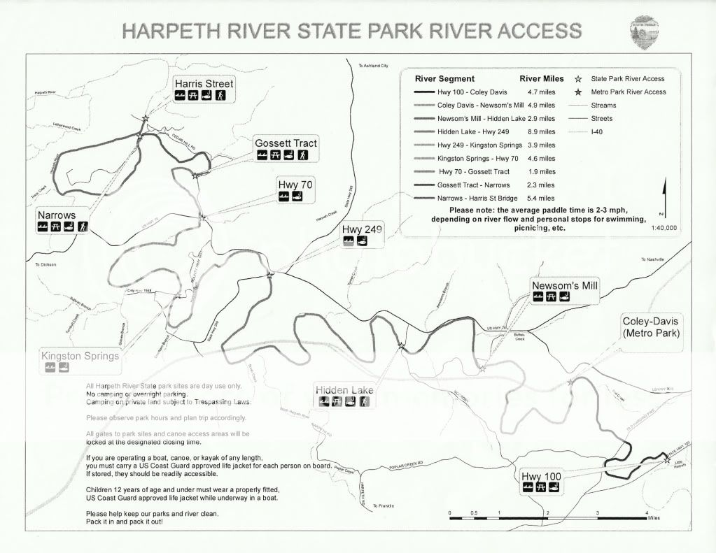
 My knees hurt. Apparently, that's what happens to 40-something-year-old knees when you go from inactivity to aggressive exercise and overdo it. Sidelined by tendonitis, I haven't really done much outdoors this month. But early this morning, I met up with Jimmy and paddled over on Percy Priest Sea. Launching from Long Hunter State Park, we headed south toward the Poole Knobs Recreation Area and executed a figure-8 loop around some of the islands. My intention was to photograph and waypoint any primitive campsites on the islands, but we wound up passing only two. One was the site where C and I camped back in March. The other was on the tip of a small island west of the Poole Knobs peninsula. Both are marked with thumbtacks in the track capture below, and clicking a tack will pull up a picture of the site. In all, we covered 6.7 miles, and we got to see a quiet area of Priest where neither of us had been.
Long Hunter Paddle
 With the family clamoring for kayak time, I loaded up the plastic armada and we headed over to Couchville Lake for some paddling. It was E's first time in a kayak and C's second trip in his own boat. He is already starting to develop basic technique, and he paddled a roundabout mile without any complaints. E, on the other hand, pouted and cried for "Moma's boat" until we finally stopped and switched her over to V's kayak. Later, while C and E spent time on the "play town," I fished. A fellow kayaker told me about a line of rocks on the south end of the lake (pan down in the aerial view below) where the structure holds fish. I got a lot of bites near the rocks, but it was mostly small fry too little to take my spoon. I only landed a yearling bass and a bream, but I had a good time, and I gathered some valuable intel about fishing Couchville. With family, kayaks, and fishing all in the mix, I can't think of a better way to spend Father's Day.
Family Loop at Couchville
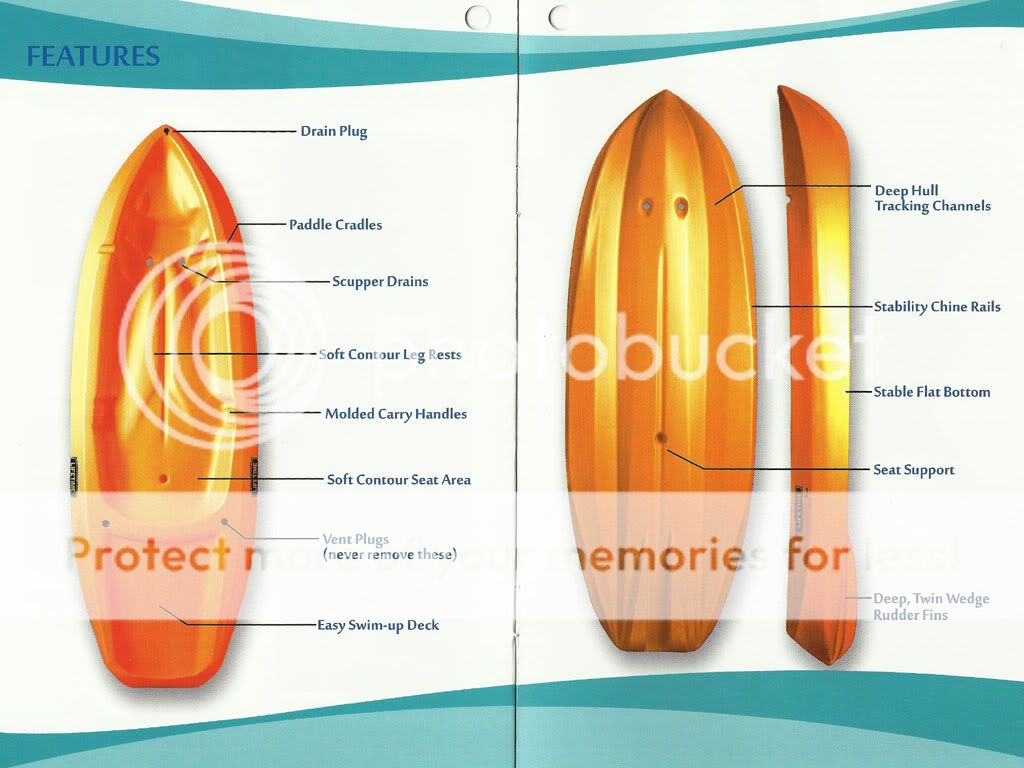
 For at least a couple of years now, I've been promising C his own kayak when he got big enough. Turns out "big enough" is relative to the size of the kayak. Yesterday, while wandering around Sam's Club, I ran across a display of Lifetime Wave kayaks for kids. At just under $100, the price was right, and the kayaks looked well-made with reasonably thick polyethylene. I snapped a quick picture with my phone so I could research the boats later, and though I didn't find a lot of reviews online, everything I saw was positive. So this morning, I headed back to Sam's Club, bought one of the orange models, and came home to dig out a spare seat I'd saved. The 'yak was already rigged with four deck loops, so installing the seat was just a matter of snapping on four clasps and making some strap adjustments. Voilà. Ready for the lake.
Rain blew through the area just after noon today, and C and I had a cool, overcast evening for trying out the kayak. Around 6 o'clock, we headed over to Couchville Lake and launched. C was a little nervous until he got in the boat and felt its stability. It wasn't long before he picked up on basic paddling, and after he made some practice runs near the shore, we were off. We paddled about a quarter-mile down the lake to a small pier, took a break, and then headed back. C did a lot better on the outgoing leg (see video below) than the return leg, mostly because his arms got tired and he started favoring one side. All in all though, he did a great job. For a while, we'll keep the trips short until he builds up some stamina, but regardless, I'm excited that he and I can now get out and kayak together.
Couchville Lake Test Run

 Yesterday morning started with a dammit to hell. I was supposed to meet Jimmy at the lake around six-thirty. That's antemeridian, so I needed to be up by five-thirty to install my Thule racks, load my sea kayak, grab all my gear, and drive over to the launch at Smith Springs. However, when I checked the clock with one bleary eye, I saw 6:17. Bingo. A bonafide dammit-to-hell moment. Frenzied activity and a record-time boat loading ensued, and I'm proud to report that I did not forget a single item. Sure, I did not get a shower or have any breakfast, but I was pulling out of my driveway at 6:37, and I was at the boat ramp by seven, only a half-hour late.
By the time I got there, Jimmy had already launched. The water was even higher than Saturday's run out to Tick Island, and we were the only ones in the parking lot. Once I got on the water, we headed north toward the Anderson Road Recreation Area, where we toured the flooded picnic grounds. There, we saw some geese, baby goslings, and a rather sinister looking turkey vulture eyeballing the young birds. In the Everytrail GPS capture below, it appears we paddled over land, and I suppose we did. The land was simply under water.
In all, we made a 5+ mile loop on a quiet lake. Few fishermen were out because of the flooded ramps, but we did see a lot of great blue herons doing their morning fishing. On the return leg, a light rain and accompanying breeze kicked up, but by the time we got back to the parking lot, the sun had popped out. It was a good loop that we'll likely do again soon.
Flooded Priest Loop
 After relocating his aunt-in-law because of the tornados that hit Alabama, Mike D. came up for a visit. On Saturday, he and C and I headed out to Percy Priest Lake with a kayak, a canoe, and a cooler full of sandwiches and drinks. The plan was to meet up with Jimmy at the Smith Springs boat ramp, paddle out to some of the islands, and enjoy a picnic lunch. Put-in was even easier than we thought since recent rain storms had driven the lake up into the parking lot; we barely had to carry the boats down to the water. But paddling proved to be a windy affair that kept blowing the canoe off course, so we stopped at the first island about a mile from our launch.
We drug a downed tree around to form a bench, and the sandwiches and chips offered a welcome respite from paddling. However, it wasn't long before Mike found a tick crawling up his leg. Like the tick that embedded itself in my knee over at Long Hunter State Park, this one was a female Lone Star Tick, distinguishable by the white dot on its abdomen. We moved our lunch over to a bare dirt area, but our evasion tactics didn't stop the wily blood suckers. In all, Mike found four crawling on his legs, and Jimmy found two. Somehow, C and I escaped the tick onslaught, but after the sixth tick, we packed up our goods, and hit the lake.
Following some paddling around the island, we turned for home and headed into a steady wind, complete with waves going in the wrong direction. Paddling the canoe was a tough go; I finally found that I could angle slightly, allow the wind to push the canoe slightly sideways, and concentrate my paddling on one side. This technique allowed for the most gain, but it was a brutal crossing. Mike's kayak went twice as fast as the canoe, and Jimmy, in his sea kayak, enjoyed ten times my speed. A second paddler would have helped, as would have more weight in the bow, but I finally made it across, dipping behind some shoreline trees and out of the wind and waves.
Okay not really. But it was extremely hot kayaking.
Team Essence, middle-Tennessee's premier militant sea-kayaking organization, re-traced a route taken way back in May '09, paddling Old Hickory Lake from the Cedar Creek Recreation Area west to the Shute's Branch Recreation Area. We knew we were in for a treat when we stepped in the lake to launch and it felt like tepid bath water. With temperatures in the 90's and humidity at about 174%, paddling was brutal. Heck, movement was brutal. Normal protocol, when faced with such conditions, involves a shade tree, a hammock, and a large glass of iced-tea. Last year, we ran the approximately nine-mile stretch in 2 1/4 hours, but today it took us a half-hour longer. More stops for water. More stops for shade. More time to contemplate baby Jesus as the threat of heat stroke loomed larger.
And people wonder why we tend to do things slower here in the South.
Click pictures to enlarge.
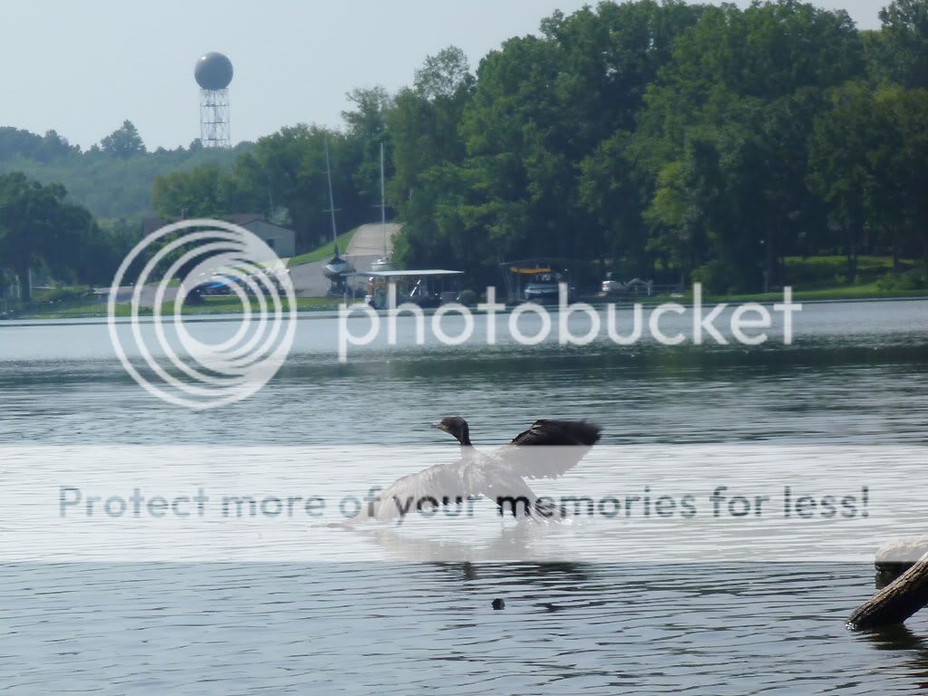
One positive outcome was that I finally got close enough to see and photograph more clearly the mysterious water birds mentioned in two past posts (here and here). The birds are... drum roll please... double-crested cormorants! How satisfying to finally put that one to bed. Click this sentence for all you'll probably ever want to know about double-crested cormorants. In retrospect, I realize that my past identification difficulties stemmed from searching mainly cranes and herons as keywords.
Speaking of crested birds... we began our paddle alongside a couple of white ducks, and one of them looked like Wolfgang Amadeus Mozart as played by Tom Hulce. I mean, the dude duck was obviously wearing a piece to impress his lady friend. Turns out though that it was just a crested white duck, bred to have plumage atop its head. Neither Jimmy nor I snagged a close-up pic of the duck, but below is a close approximation taken from Google Images.


Early this morning, Jimmy and I launched out of Smith Springs Recreation Area and navigated Percy Priest Lake (a.k.a. Percy Priest Sea) in conjunction with Team Essence—middle Tennessee's premier militant sea-kayaking organization. Our roughly ten-mile paddle took us northeast up to Long Hunter State Park and then back again, the trip serving two purposes. First, I wanted to find out if the white bass bite resembled that of a year ago. Second, since Jimmy and I plan to hike overnight at Long Hunter in the next couple of weeks, we wanted to scout the primitive campsites at the park.
The bad news? No shad schools and white bass frenzies. But the good news was that the primitive sites offered shade, firewood, fire rings, and flat spots for pitching a tent. Judging by the state of the fire rings though, those campsites don't see a lot of traffic.
Click pictures to enlarge.


Below is a GPS capture of our track, which includes a few waypointed pictures from the campsites. On the return trip, we took a much less direct route and toured the campgrounds over at Seven Points Recreation Area. Overall, boat traffic on the lake was minimal, but it was already starting to pick up for the holiday weekend by the time we were taking out around 11 a.m.
Long Hunter Scouting Trip
In addition to photographing and waypointing the two campsites, I also grabbed some video captures. In the clips below, the picture quality is much better with 720p (HD) selected, but load time is longer.
This past weekend, four of us trekked over to the Long Branch campground alongside the Caney Fork River, the plan being an all-day fish & float on Saturday and a shorter float on Sunday.  On Friday, I experienced the perils of speed packing at the last minute. With my inner Boy Scout shouting "You might need that!" at every turn, I threw way too much stuff into the truck, and of course, I forgot some of the essentials (think food here). Fortunately, the Lebanon Walmart Supercenter en route carried my favorite Mountain House freeze-dried pouches and a few other items I needed. After a stop for supplies and dinner, Mike, Robert, and I got to the campground with enough sun to spare and set up camp. The spot, campsite number one, was perfectly located. We were only about thirty yards from the boat launch, and a short walk down some steps gave us easy access to our put-in. The showers/restrooms conveniently sat right across from us, and the site featured a fair amount of shade during the day.
Later that night, I walked down to the boat ramp and cast a Rapala minnow blindly into the dark river. My head lamp didn't help because of the dense fog covering the water; visibility was probably three feet or less. Still, I managed to hook and land a nice 13.5" rainbow which turned out to be the biggest fish of the weekend.
DAY TWO - SATURDAY
The next morning, after we roused ourselves and had some breakfast, the three of us got kayaks rigged and ready, and then Robert and I headed out to drop my truck at the take-out. Mike kept an eye on camp. At the same time, Jimmy was driving over to Long Branch, and everyone was to congregate at the campsite by 10 and hit the water by 10:30 or so.
Click pictures to enlarge.
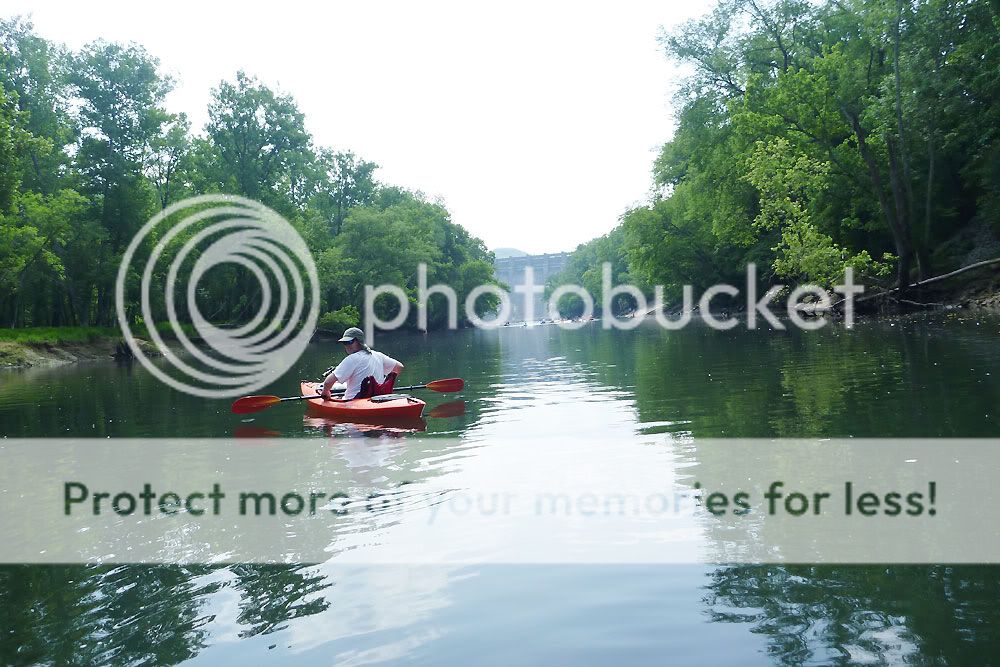


Robert and I passed up Betty's Island as a take-out and went in search of the Kirby Road pull-off marked on the Corp of Engineers map. On the way, we discovered that the bridge on Betty's Bend Road had been restored; just a year earlier, that bridge had been out. And despite a local telling me that Kirby Road was hard to find, it was in fact nicely marked with a street sign. The road was a one-lane affair and off the beaten path, but we eventually found a busy parking area just beneath the I-40 overpass where take-out wasn't going to be too difficult. We headed back to camp, taking the shorter route along Betty's Bend Road, and Jimmy timed his rendezvous nicely. After a bit of finagling and final rigging, we launched into the Fork.
Along with 100 other people.
Well, maybe it wasn't that crowded, but it was crowded. "Disney on the Fork" is what I kept calling it. I felt sorry for the poor fly fishermen whenever a group of canoes or kayaks plowed right through their casting area, and I tried to be respectful with my boat's line. But with the throngs drifting together in one big polymer and aluminum armada, my efforts really didn't matter. 


One group of local color raised a continual ruckus in their canoes, and the snatches of conversation we gleaned were priceless. One memorable, cryptic line was: "Walmart ain't like Las Vegas." Now I sense that the utterance contains infinite wisdom, but I admit I'm still trying to decipher it. My first inclination was that it involves the People of Walmart website, but after more reflection, I'm convinced the line has deeper philosophical significance. Further downriver, another fellow was apparently practicing his standup act and shouting Little Jimmy Dickens jokes to two victims of proximity in a nearby canoe. Peaceful it wasn't, but the entertainment value was high.
At the Happy Hollow area around mile five where most folks were taking out, we noticed a storm brewing behind us, and we made a dash downriver to see how far we could get before it hit. It didn't take long. Mike and Jimmy sought refuge under some tree canopy and enjoyed a brief shower. Robert and I, on the other hand, benefited from lingering back a ways and found cover under the I-40 bridge just as the bottom dropped out. The deluge was short lived, and once we got under way again, we enjoyed a quieter, less populated river.

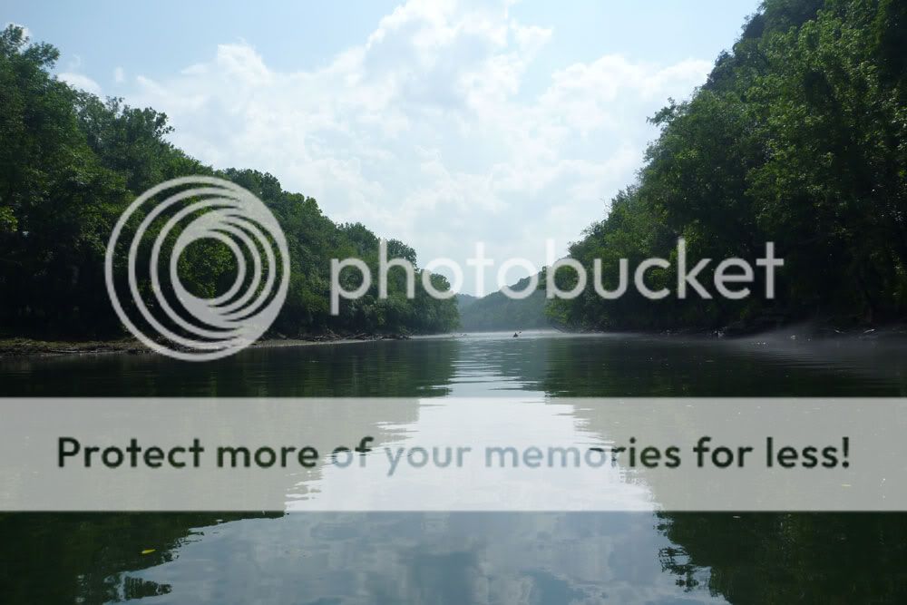


The last half of the float offered up an eerie, picturesque river often covered in fog. We had plenty of fantastic scenery. But what we didn't have was current. Launching after 10 in the morning, we had counted on the Center Hill Dam generation, which purportedly ran from 2 p.m. until 5 p.m. However, we didn't note any significant rise in the river until 6.5 hours into the trip as we stood on Betty's Island around mile 8. As a result, we were on the water longer than we thought we would be. Total trip time on Saturday was just over 7.5 hours, and we covered around 10.5 miles. The trip route can be seen in the GPS capture below.
Caney Fork - Day Two
Overall, we didn't have much luck fishing. I caught a couple of trout near the boat launch Friday night and Saturday morning. And in the upper stretch of our float, I added 6 more small trout (including 2 browns), 2 bream, and a tiny bass. In addition, I know Jimmy and Robert both caught fish, but the numbers and the sizes weren't great. The lower portion of our float past Happy Hollow looked superb in terms of cover, structure, water clarity, and water depth. I fished parts of it hard but struck out. Nada. Not one single fish in the last four miles. Just as we were about to take out, we passed a couple of guys tossing gigantic (10" to 12") plugs, and I confirmed that they were fishing for the big browns. But we didn't see them hook up either.
That night, back at camp, some of us enjoyed three-hour hot dogs. (Note to self: never again attempt to light charcoal briquets for food prep with a fire starter brick.) And we sat around and shot the breeze until everyone was exhausted enough to crash in the hot, humid weather. (Note to self: the box fan is always a smart move in the summer where electrical hook-ups are present. Score one for the inner Boy Scout.)
DAY THREE - SUNDAY
Next day, we arose, ate, tidied the camp, and then ran my truck down to the Happy Hollow take-out for a shorter five-mile-ish float. Once on the water, we again encountered pretty high traffic, and I was surprised we didn't witness someone hooked by a fly cast, either on purpose or accidentally. We almost did see some fisticuffs between two fellow canoeists, and in a few spots, we encountered more fog floating lazily over the water.
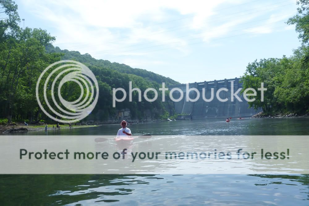
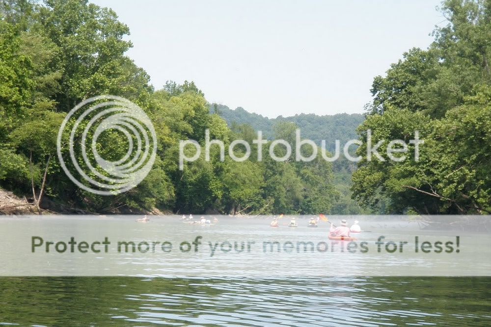


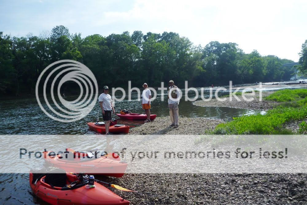
One fun part of the Sunday float involved taking the channels behind three islands in that stretch of river. Jimmy, Robert, and I ventured into the first one and contorted our way under a fallen tree only to find we needed to portage about ten feet to get across a shallow run of water. The next two channels, though shallow in places, were clear their entire lengths. Mike, Jimmy, and I explored the second one, and then Jimmy and I paddled the last one. These creek-like waterways reminded me of the run we paddled next to our camp island on last year's Etowah trip. Below are some pictures of the channels along with a GPS capture of my route.


Click graphic to enlarge. Though I had planned to paddle more this month, Mother Nature had other ideas. May brought torrential rains and flooding to middle Tennessee with two-day totals coming close to 20" in some areas. Sections of the state experienced 1000-year floods, meaning that the rainfall totals had only a .1% chance of occurring.
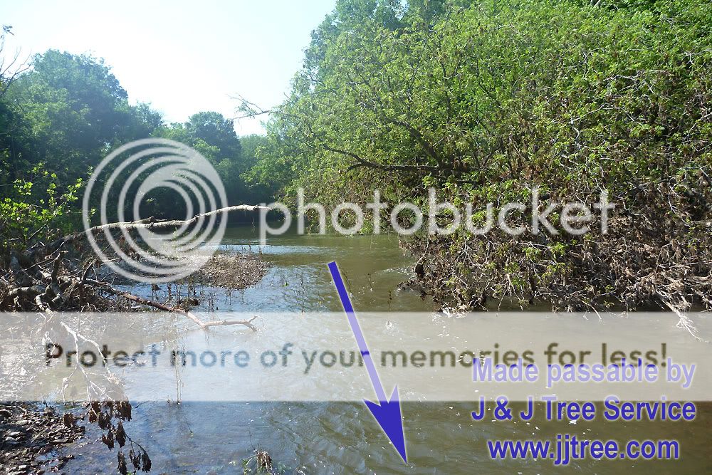
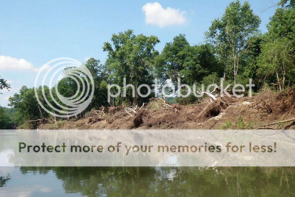
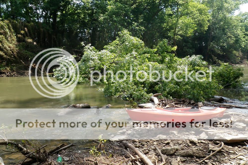
All the rivers in this part of Tennessee, including sections of the Harpeth River, broke longstanding records for flood levels (see link in previous paragraph), but by the time Jimmy and I got down to the Harpeth today, the river depth had returned to normal. Still, in the stretch we paddled near Franklin, the river had crested above 35 feet, and we saw plenty of evidence of the flood's effects. Trees were down across the river in several spots, and we spent some time with a folding saw clearing limbs from one that had fallen up against a sand bar. In addition, Sneed Road Bridge was under repair due to flood damage, and in the wide portion of river just beyond the bridge, the river was almost completely dammed by flood debris. We passed by a blue wheelbarrow dangling from limbs nearly three stories up, and one section of riverbank appeared entirely washed out.