
I mentioned a couple of posts ago that I've gotten back to the river.
Back after a long break. From the time I was 14 and could drive my father's truck to the Little Tallapoosa until I was 17 and leaving home for college, I spent a lot of long, lazy, summer days on a stretch of water below my grandmother's house. Fishing, canoeing, wading, and thinking. Since then, I've visited rivers once in a blue moon, but mostly, they became lost amid the shuffle and chaos of life. I did not realize quite how much I missed them.
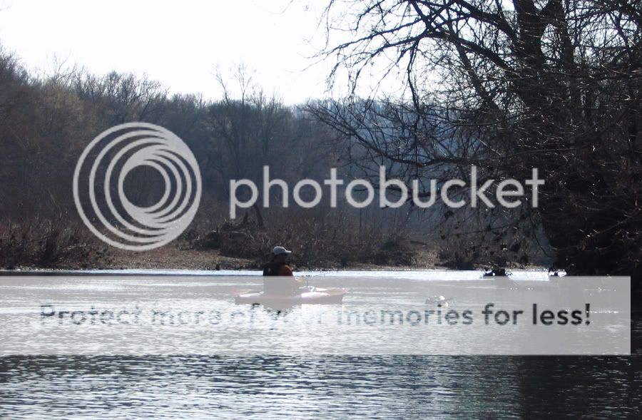
Last year, some twenty-plus years later, I gave into an impulse and picked up a couple of small kayaks for river floats. I've since found there is no better fishing than with a kayak, a paddle, a small rod, and a select kit of tackle. Yes, there's fishing that's simpler; I've wet a line with a cane pole from the bank many times in my life. But the kayak mobilizes you and puts you in spots where the fish live. You can slip in stealthily and cast to places that would be impossible to reach from shore. This summer, with the little yaks, I'm looking forward to floating and fishing several of middle Tennessee's rivers.
Yesterday, a friend and I did a run of the Harpeth River from Highway 70 to the take-out just past the Harris Street bridge. No fishing as the water level was way up, and we wanted to see how quickly we could make this roughly 9.5 mile run. It would up being just over two hours. Averaging nearly 5 mph in the smaller boats meant swift water, and this condition was a stark contrast to some of the very low water levels we experienced at the end of last summer. Only one spot--a set of rapids where the river runs alongside the road--gave us any pause, but the kayaks handled the swells quite well. The trick seemed to be taking them at a slight angle and letting the boat simply bob over the crests. A spray skirt might have been useful here as some spray did enter the cockpit.
I used my iPhone to capture the float with an app called EveryTrail, a kind of log-book site for various GPS data captures. It worked nicely, the only exception being the elevation data, which is unreliable. One nice feature of the application is that it allows you to take photos along the way, and it "waypoints" these photos at the proper location along the track route.