Showing posts with label Camp. Show all posts

Monday, March 12, 2012

Harpeth Overnighter

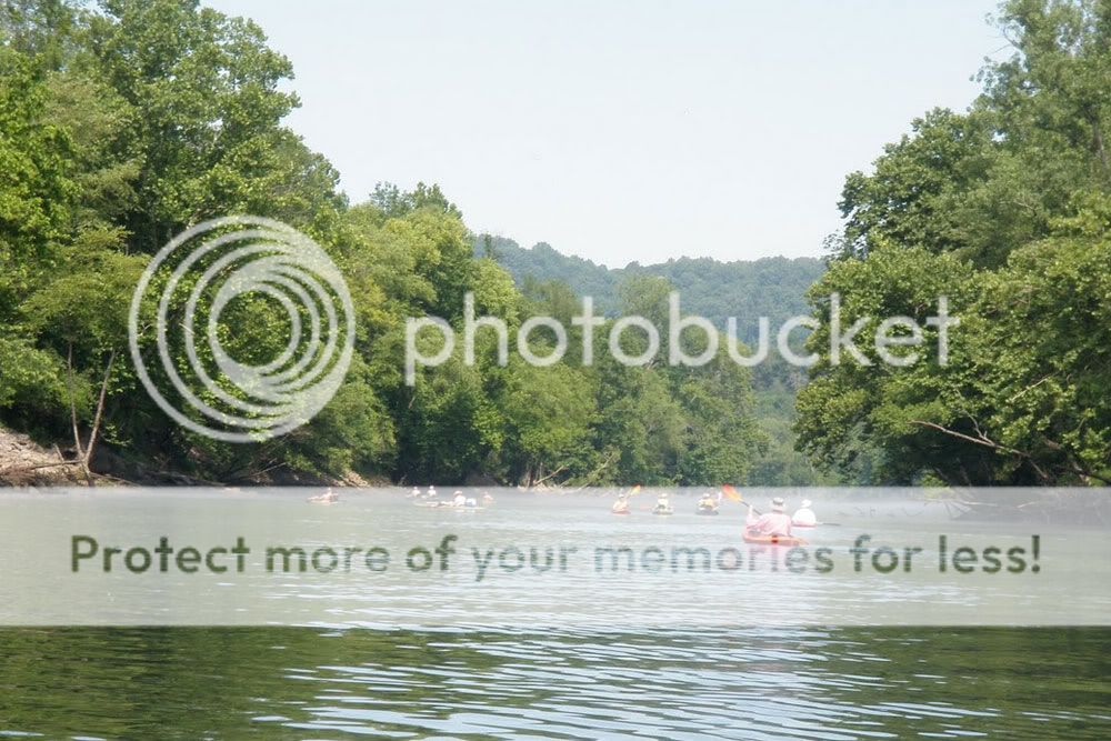
Six kayakers from three states convened at the Harpeth River on Saturday for a 30-mile, overnight float. Because of heavy area rains, the river had crested at 7.76 feet, started down, and then started back up again. We watched the hydrologic graphs with some trepidation, fearing the river would shoot up to the predicted 10+ feet. Thanks (we think) to the friendly guy down at Cheatham Lock, the river never got that high, and by the time we hit the water at Newsom's Mill, the Harpeth level was under 7 feet. It was still high and moving briskly, but not nearly as "flooded" as the folks at Tip-A-Canoe would have us think. Our ultimate destination on day one, 20+ miles downriver, was the Highway 70 bridge and the campground at Tip-A-Canoe.


Right out of the gate, Mike tested the muddy brown waters and pronounced them cold but fit for paddling. Fortunately, we had a temperate day perfect for an outdoor excursion. The sun was shining, trees were beginning to put on spring foliage, and critters were stirring. Wildlife sightings on the first day included ducks, geese, a fox, the occasional leaping fish, a couple of red-tailed hawks soaring on an updraft, numerous turkey vultures, and a lost brown bat that apparently thought it was nighttime. At about the 13-mile mark, we took a short island break for lunch, which included deviled ham wraps with Cheez Whiz and drive-through condiments. Julia Child, eat your heart out.

Our small cadre of kayakers included Mel, a first-time paddler from east Tennessee who pretty much smiled the entire day. "It's like having a recliner on the river," she noted in between grins. Mel paddled both days like a champ, taking whitecapped rapids in stride. In the video below, she's the last paddler deftly handling some rougher water.


We got to our take-out about an hour before dusk, and Kay decided to make sure the waters were still okay. Still cold, she determined. But nevertheless fit for navigation. The Tip-A-Canoe camp site held a good fire ring but not enough room for all our tents around the fire. So Moose and Mel pitched a tent nearby while the rest of us set up on the flat road entrance to the site. Thereafter, Moose worked hard at scavenging driftwood from a nearby pile-up, and Randy, Mike, and I hauled the wood up to the fire ring. We wound up with a sizable blaze, and after waiting an hour or more for coals to develop, Moose cooked up some excellent ribeyes for a few of us. Other table fare included tinfoil hot dogs and Kay's tasty pasta dish with olives and sun-dried tomatoes. As with any good campfire, we shared stories till exhaustion set in, occasionally pausing to ask, "Hey Mike, you want some corn liquor? It's strawberry."

Harpeth Overnighter Day One


Above is the GPS capture for day one. With the river up, we averaged almost 4 miles-per-hour, even with stops. Also notable is the roughly 9-mile stretch between Hidden Lakes and Highway 249. I had never paddled that section before, and while its subdivisions and I-40 crossings are not my favorite parts of the river, the portion does complete a personal 50-mile river consecutive run—from a put-in down by Old Natchez Trace up to the Harris Street bridge. On day two, my GPS crapped out after an hour. (Note to self: you get what you pay for with $1/pack batteries.) But our route, Highway 70 to Harris Street Bridge, was already familiar, and with its impressive cliffs that loom over sections of the river, it is still my favorite section to date.

Toward the end of the trip, while paddling in the lead, I totally spaced out and zipped past the entrance to the Montgomery Bell Tunnel outflow. While Randy and Kay veered into the creek-like detour in time, the rest of us beached on a sandbar downstream, and Moose, Mel, and I chose to paddle back upriver thirty yards or more against considerable current. Once again, kudos to Mel, who showed considerable moxie in her upstream paddle. It helped that she thought we'd missed our take-out! The reward? Some bragging rights and few shots near the Narrows waterfall, which I captured up-close in some video below.

Tuesday, October 18, 2011

Weekend at Ethan's II

This past weekend, Ethan Becker again hosted a get-together for users of his BK&T brand of outdoor knives and gear. People came from as far away as Iowa, New York, and New Hampshire to attend the event, which began taking shape on Thursday, October 13th, and ran through Sunday, the 16th. For this gathering, Ethan stepped up his game with the aid of part-time event coordinator, Moose. At the hilltop camp site on Half Moon Ridge, Ethan built a large covered pavilion as well as a giant fire pit. Also, Ka-Bar, the manufacturer of Becker knives, paid to have some excellent Wagyu beef and tasty jerky flown in from Johnson-family-owned (including Steve Johnson of Johnson Adventure Blades) Nebraska Star ranch. Invited attendees included none other than knifemaker extraordinaire Jerry Fisk, who has been named a National Living Treasure by the University of North Carolina at Wilmington, and whose work has received all manner of accolades over the years. Jerry provided expert advice on knife sharpening and also conducted a “knife rodeo,” a popular knife testing and cutting event often held in conjunction with bladesmith meets.

On Saturday, I arrived at Ethan's in time to have a bite of breakfast that included Jerry's tasty crabapple butter. I also had the pleasure of meeting and talking with James Gibson, a practitioner of numerous outdoor skills and a journeyman knifemaker. Soon thereafter, I participated in the knife rodeo—failing miserably at most of the challenges but having a great time nonetheless. James, a veteran of quite a few such competitions, eventually took first place, with a borrowed knife no less. Later that evening, John Becker and his girlfriend Megan proffered some excellent table fare, including the Nebraska Star steaks, alongside camp dishes created by other attendees (thanks Kay, Derek, and Zach!). After a giant communal gorging fit for royalty, fireside conversation ran late into the night. The next morning, John and Megan delivered biscuits in a basket along with apple butter, and folks enjoyed breakfast before breaking camp. My conclusion? Ethan is the host with the most, and a giant thanks goes out to him, Moose, John, Megan, Ka-Bar, and Jerry Fisk for making this camp meet a great success.

I was talking, watching, participating, and having too much fun to take many pictures. But Iowa surgeon, averageiowaguy, documented the entire event. His six-part series of YouTube videos shows off the gathering in fine fashion. Enjoy.


Monday, May 23, 2011

Weekend at Ethan's

Click pictures to enlarge.
I'm proud to count Ethan Becker as a friend, and this weekend, I had the pleasure of camping at his spread on Half Moon Ridge over in eastern Tennessee. Ethan is quite the character. From 1976 until just recently, he was the steward of the seemingly ubiquitous Joy of Cooking which has been in print since 1931. In addition to that job, Ethan has long been an outdoorsman active in designing equipment, from backpacks to survival knives, all marketed under the Becker Knife and Tool brand. He is a man who wears many hats and wears them well, and he's just as comfortable sharing time around a campfire as he is cooking in the kitchen.

My company for the weekend included people who are users of Ethan's outdoor knives, the Becker line currently made and sold by the longstanding Ka-Bar company. As such, these folks all have outdoor interests that run the gamut—camping, hiking, paddling, fishing, mountaineering, outdoor survival, primitive skills, conservation, you name it. Also in attendance was Jeff Randall, who runs a a well-known survival training school and who designs and markets his own line of outdoor knives under the ESEE brand. Any time you get Jeff together with Ethan, part of the fun is watching the insults fly back and forth. They're competitors but also close friends, and it's always about trying to get the other one's goat. There's rarely a dull moment.


In addition to trading barbs most of the weekend, we did share and practice a little in terms of wilderness skills. Jeff demonstrated an ingenious rope tension system that can be tightened and loosened with the pull of one rope section. My buddy "Moose" provided instruction on simple but effective knife skills and on bow-drill fire making. Ethan gave a primer on camp cooking and served up some tasty chili Saturday evening, and Derek followed suit with a steak-and-potato breakfast the next morning. I also had a great time talking kayaks with Randy and Kay, and I hope we can get together for a couple of paddling trips in the not-too-distant future.

For our accomodations, Ethan had already cleared a spot on one of his hilltops, put in a four-star outhouse, stacked a pile of firewood, hauled up a giant water reservoir, and dug an impressive fire pit. All that was left was to pitch a tent or sling a hammock. Hammocks were by far the more popular choice, and I finally got to try out my new Hennessy Explorer Ultralight. I was quite pleased with how easily it sets up and how well it sleeps. With a ground pad under me, I was plenty warm, and I slept soundly into Sunday morning until Ethan motored up the hill on his John Deere Gator and people started stirring around. In addition to the Explorer, I also picked up a Hennessy Expedition, and I'm looking forward to a few hammock trips with my son this summer and fall.

Sunday, March 13, 2011

Percy Priest Island Camp

C and I hit Percy Priest for some camping yesterday evening. We got a late start, arriving at Long Hunter State Park as the sun was going down, and we still had to paddle about a half-mile to get to our spot. The Corps of Engineers campsites around the lake are seasonal, but the primitive camping on the islands is open year-round on a first-come, first-serve basis. So with temps in the mid-70s on Saturday and only a low of 50 expected at night, we made a go of it, twilight canoeing and all. We had a simple camp with just a two-man backpacking tent and a fire. Dinner consisted of some Mountain House boil-and-stir, and dessert was all about the roasted marshmallows. We both slept like rocks and then rose early to pack up camp and explore the island. Light rain, however, convinced us to cut short our exploratory hike. Of course, by the time we loaded the canoe and paddled back to the boat launch, the rain had stopped. We chalked it up to fickle March weather and headed home.


Percy Priest Island Hike

Sunday, November 14, 2010

Savage Gulf Overnight Trip

Saturday morning was devoted to Mr. C's soccer game, so Jimmy and I didn't hit the road until about 11 a.m. Originally, when we talked about hiking part of South Cumberland State Park, we'd considered covering the roughly 8.5 miles to Hobbs Cabin on day one. However, with limited daylight and an unfamiliar trail ahead of us, we aimed lower, instead shooting for the Dinky Line camp area about four miles in. To get to camp, we made our way up the east side of the Savage Day Loop (2.2 miles), took a right onto the North Rim Trail (0.3 miles), and then connected up with the North Plateau Trail (1.4 miles to camp). On the GPS capture below, our path on day one can be traced by starting next to State Hwy 111, following the track up the right-hand side, and reaching the thumbtack (waypoint) placed at the camp site.

Savage Gulf Trip
Click on the thumbtacks below for photos from those spots.


After registering at the Ranger Station for a site, we made good time to camp. On the way, we crossed several suspension bridges and wound our way through both low-lying foliage and more sparsely vegetated woods. We were a little disappointed to learn we'd be sharing the camping area with a Boy Scout troop, but we were at least able to secure the site furthest away from the noisy boys. We pitched tents quickly and set about scrounging for fire wood. Just down from our site, a 10" diameter fallen pine was perfect fire material, but I'd forgotten my saw, and the entire tree was a little tough to budge. Lesson learned on the saw.

Click photos to enlarge.
Later, with fire blazing as we finished our dinners, we quickly found out why you should obey the carry-in/carry-out policy at South Cumberland. Yes, there are environmental concerns, but perhaps more immediately, the Rangers lurk. I'd already read on a discussion board that the park Rangers there tend to pop out of nowhere and even monitor the trails at night. Sure enough, just as one of the people in our party (hint: it wasn't me) decided to burn a Mountain House aluminum pouch, a Ranger waltzed out of the darkness and into our camp. After we showed our permit, Jimmy strategically stoked the fire while I attempted to engage the Ranger in conversation and hold his gaze. Meanwhile, the offending lasagna pouch continued to sizzle and flutter. We did procure some good intel about the next day's hike, and luckily, we weren't issued a warning or ticket for a flagrant fire violation.


The night brought rain, and in the morning, we had to forego a leisurely breakfast in lieu of a quick pack-up. Slurping down water and scarfing energy bars, we cut west across the short Mountain Oak Trail which connects the North Plateau Trail to the North Rim Trail. Based on the Ranger's information, we were expecting spectacular scenes right away, but it wasn't to be. Fog had rolled in with the rain, and visibility was severely limited. As we traced the North Rim Trail southward, we began to wonder if we were going to see down into the Gulf at all.

In a number of spots, the North Rim Trail bumps up to the bluffs and allows for sightseeing into the Gulf. Finally for us, the fog lifted, and we were treated to some great scenery of the canyon, its rugged cliffs, and the late fall foliage. Though the wet weather made the rocky outcroppings slicker than usual, we edged out to a number of overlooks and took in some amazing panoramic views. One particularly excellent vista held a plaque noting how Samuel H. Werner and his wife Ellen Young Werner bought 3800 acres of the land in 1924 and protected it until it became a state natural area in 1974. To this monument, I would like to add a postscript: thank you, Samuel and Ellen.

With the same scene as a focus, Robert H. Mohlenbrock's "Through the stone's door" (Natural History, November 2002) traces the early development of South Cumberland's geology and provides a taxonomical breakdown of its flora. Mohlenbrock writes:

Viewed from the air, Savage Gulf looks like a giant footprint, with five deep canyons radiating from a central point. The canyons—or gulfs, as the local people call them—are each about five miles long and 800 feet deep and are rimmed almost continuously by sheer sandstone cliffs. ... Savage Gulf has been carved out by the Collins River as well as by Big Creek and Savage Creek. All these streams flow underground in places, though when the rain gets heavy, excess water is forced across the surface. Many miles of trails give hikers access both to the top of the plateau and to the streams below; several trails lead to overlooks of scenic waterfalls.


Our hike took us past one such waterfall, Savage Falls, so we dutifully trekked down a side path to the designated vantage point. My first reaction was that it wasn't very savage (see video below); only a thin stream of water cascaded off the rock face, though I imagine that more flow could make Savage Falls an impressive display. However, since Savage Creek looked inviting and since I needed more water, we decided to detour onto the South Rim Trail and visit the creek and falls up close. I rocked hopped down Savage Creek while Jimmy followed the trail down to the falls, where we snapped a number of pictures and enjoyed the rocky scenery.


Thursday, July 8, 2010

Long Hunter Backpacking Trip

This past Tuesday, I backpacked the Volunteer Trail at Long Hunter State Park and camped at the park's primitive sites. Jimmy and I had talked about taking such a trip, but since he is busy this week working on his pilot episode for HGTV, I decided to go it alone. After securing a permit from the park office, I hit the 5.7 mile trail a little before six o'clock and put in a solid 2+ hours of hiking, stopping only for the occasional water break or photo op. Even in the oppressive 90+ degree heat, the hike was a good one. I kept a decent pace, enjoyed some scenic overlooks of Percy Priest Lake, and managed to reach camp well before nightfall. Below is a GPS capture of my route.

Long Hunter Solo - Hike In


The hike also had some disappointments. Long stretches coincided with what must have been the high water mark of the May flooding. As a result, an assortment of garbage often ran alongside the trail. (Note to fishermen at Percy Priest: properly dispose of your damnable bait containers!) I plan to contact Long Hunter and see if the rangers have a cleanup scheduled for that area. In addition, based on hiking the Day Loop at Long Hunter, I was used to a well-defined, managed trail (⇒ picture link), but in a lot of places, I hiked through passes nearly overgrown with flowers and grass (⇒ picture link). As a result, that evening I had the displeasure of removing a Lone Star tick from my knee even though I had liberally sprayed down with a Deet-based repellant before starting out.

Click pictures to enlarge.
Photobucket Photobucket

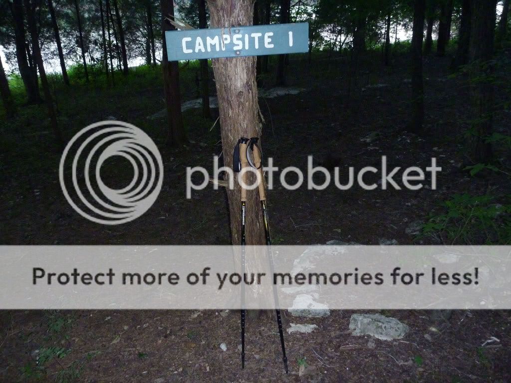
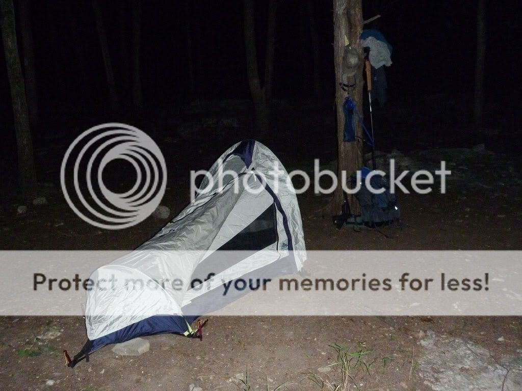
Camp was a pretty simple affair of a tent and a fire. Though I noted an abundance of downed limbs on my way in, the area around Campsite 1 did not hold very much firewood. Still, some kind soul had left behind a little kindling, and I was able to scrounge up enough limbs to have a good fire until I went to bed. To pass on the good karma, I left behind a couple of decent limbs I'd scavenged.

One point of interest was the numerous reflective specks that appeared each time my head-lamp beam hit the ground. There were hundreds of pairs, and upon investigation, I finally figured out that the specks belonged to tiny spiders (their eyes, I suppose). The size of the specks, however, did not coincide with spider size. I noted a pair near the fire at one point, and when I walked over to stoke the coals, I was surprised to find a specimen about the size of a silver dollar. Not quite tarantula-like, but getting there. As a point of order, I made sure my tent zipper was securely fastened once inside for the night.

Photobucket Photobucket


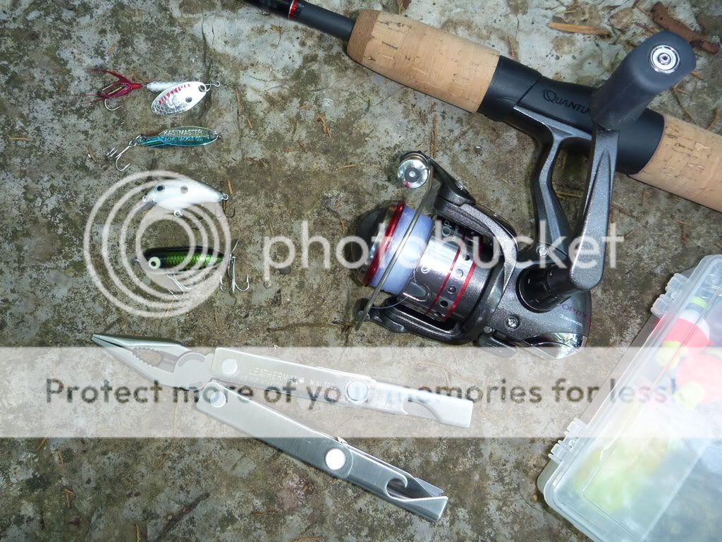
Next morning, I woke up later than intended but still got out on the water to fish for a while. On the Long Hunter scouting trip, I'd noticed that the Corps of Engineers placed fishing structure directly in front of the Long Hunter campsite, so I took along some tackle. Though I'd eventually like to get a St. Croix travel rod (expensive!), Academy Sports had some very nice two-piece, ultralight, Quantum combos for only $30. And after some searching online, I found a very elegant solution for protecting the rod during transit—a plastic protective cover for a fluorescent bulb. In addition, I put together a small fishing kit in a Plano micro box, and I'm happy to report that each of the lures I selected caught fish. I was particularly impressed by the little Strike King crank bait and by the Kastmaster spoon.

After catching and releasing several small bass and one bold shellcracker, I had some breakfast, broke camp, covered the smoking coals in the firepit, and geared up for the hike back to the trailhead. The return trip went slightly slower than the day before, probably because I was traveling more in the heat of mid-day and because I made a long-ish stop to filter water.

Long Hunter Solo - Hike Out


One purpose of the trip was to assess gear in preparation for an upcoming backpacking trip at Big South Fork. To that end, this trip was a success, and below, I note some of the more important lessons learned:

  • Two words: baby powder. The word chafe is never pleasant to contemplate on mile five of a six-mile hike. Discount stores offer powder in a trial size that is perfect for backpacking.
  • Two more words: long pants. As mentioned, the trail got unruly in spots, and I suspected I'd see more ticks on the way out. Sure enough, after hiking through a particularly dense portion, I inspected my legs and found another Lone Star tick crawling around. On future trips along unfamiliar trails, I'll have long pants available. I even own some convertible hiking pants with zip-off legs, but I left them at home.
  • Because of my tick encounters, I realized the value of a larger can of bug repellent with a higher percentage of Deet. I'm contemplating Permethrin but have not yet tried it.
  • I've written about the usefulness of good boots and hiking poles with a child-carrier backpack. In similar fashion, with a weighty pack, these two items offer greater stability along the trail.
  • Still, I am reconsidering footwear. I've long worn a pair of Lowa Scouts when hiking with my children on my back. But I've never done 11+ miles with the boots and substantial weight. By the end of day 2, I had some rubs and even a blister on one heel. I appreciated the ankle support the boots afforded, but I am tempted to try lighter weight hiking shoes on a subsequent trip.
  • Speaking of weight, I did learn something about water's weight. My gear at the start came in at 43.5 pounds and fell to about 34.5 pounds once I got back to my vehicle. The difference, of course, was water. I began with 4 liters of water (8.82 pounds) and had no water by the time I got back to my truck. For the record, a liter of water is 2.205 pounds (1 kg).
  • More on weight... As one might imagine, as the hike progressed, I began to reflect on extraneous pounds and ounces. I clearly had redundancy in some areas (e.g. three lights, two mugs). I carried in a sleeping bag that I did not even use (my silk bag liner was all I needed). I carried all my keys (instead of just my truck key) and my wallet (instead of just identification). I had more tent stakes than I really needed. While I'm not quite ready to start cutting edges off maps and removing labels from clothing, I do realize there are some simple ways I can cut weight from my pack.
  • One item I was glad to have was my MSR MiniWorks EX filter. By the time I was ready to hike out Wednesday morning, I'd used up all four liters of water I took in. With the filter, I was able to make a quick liter from the lake, and about midway through my return, I stopped to make another liter. Without those two extra liters, dehydration would have been a sure thing, and without the filter, I would have needed to use purification tablets (which taste bad) or boiling (which takes time) .
  • As for water portage, I used a 3L Camelbak reservoir for most of my water on the first day. However, I also had a wide-mouth Nalgene on my hip. The bottle was extra weight, but the Nalgene links up nicely with the MSR filter and makes the job of filtering much easier. It also serves as a measuring cup for prepping my freeze-dried food.
  • I was happy to have along my Crocs. While an extra pair of shoes may seem like excess, Crocs are relatively light and comfortable. They were a blessing once I got to camp, and they were useful for wading.


The Numbers

Miles Hiked: 11.4

Average Speed: 2.2 mph

Pack Weight at Start:
~ 43.5 pounds

Pack Weight at Finish:
~ 34.5 pounds

Water Used: 6 liters

Deer Spotted on Day 1:
6 (including two large bucks)

Deer Spotted on Day 2:
1 (and a bunny rabbit)

Skunks Smelled: 3

Ticks Found:
3 (1 in my knee)

Monday, June 14, 2010

Caney Fork Camp and Float

This past weekend, four of us trekked over to the Long Branch campground alongside the Caney Fork River, the plan being an all-day fish & float on Saturday and a shorter float on Sunday.

On Friday, I experienced the perils of speed packing at the last minute. With my inner Boy Scout shouting "You might need that!" at every turn, I threw way too much stuff into the truck, and of course, I forgot some of the essentials (think food here). Fortunately, the Lebanon Walmart Supercenter en route carried my favorite Mountain House freeze-dried pouches and a few other items I needed. After a stop for supplies and dinner, Mike, Robert, and I got to the campground with enough sun to spare and set up camp. The spot, campsite number one, was perfectly located. We were only about thirty yards from the boat launch, and a short walk down some steps gave us easy access to our put-in. The showers/restrooms conveniently sat right across from us, and the site featured a fair amount of shade during the day.

Later that night, I walked down to the boat ramp and cast a Rapala minnow blindly into the dark river. My head lamp didn't help because of the dense fog covering the water; visibility was probably three feet or less. Still, I managed to hook and land a nice 13.5" rainbow which turned out to be the biggest fish of the weekend.

DAY TWO - SATURDAY

The next morning, after we roused ourselves and had some breakfast, the three of us got kayaks rigged and ready, and then Robert and I headed out to drop my truck at the take-out. Mike kept an eye on camp. At the same time, Jimmy was driving over to Long Branch, and everyone was to congregate at the campsite by 10 and hit the water by 10:30 or so.

Click pictures to enlarge.
Photobucket Photobucket

Robert and I passed up Betty's Island as a take-out and went in search of the Kirby Road pull-off marked on the Corp of Engineers map. On the way, we discovered that the bridge on Betty's Bend Road had been restored; just a year earlier, that bridge had been out. And despite a local telling me that Kirby Road was hard to find, it was in fact nicely marked with a street sign. The road was a one-lane affair and off the beaten path, but we eventually found a busy parking area just beneath the I-40 overpass where take-out wasn't going to be too difficult. We headed back to camp, taking the shorter route along Betty's Bend Road, and Jimmy timed his rendezvous nicely. After a bit of finagling and final rigging, we launched into the Fork.

Along with 100 other people.

Well, maybe it wasn't that crowded, but it was crowded. "Disney on the Fork" is what I kept calling it. I felt sorry for the poor fly fishermen whenever a group of canoes or kayaks plowed right through their casting area, and I tried to be respectful with my boat's line. But with the throngs drifting together in one big polymer and aluminum armada, my efforts really didn't matter.

Photobucket Photobucket Photobucket Photobucket

One group of local color raised a continual ruckus in their canoes, and the snatches of conversation we gleaned were priceless. One memorable, cryptic line was: "Walmart ain't like Las Vegas." Now I sense that the utterance contains infinite wisdom, but I admit I'm still trying to decipher it. My first inclination was that it involves the People of Walmart website, but after more reflection, I'm convinced the line has deeper philosophical significance. Further downriver, another fellow was apparently practicing his standup act and shouting Little Jimmy Dickens jokes to two victims of proximity in a nearby canoe. Peaceful it wasn't, but the entertainment value was high.

At the Happy Hollow area around mile five where most folks were taking out, we noticed a storm brewing behind us, and we made a dash downriver to see how far we could get before it hit. It didn't take long. Mike and Jimmy sought refuge under some tree canopy and enjoyed a brief shower. Robert and I, on the other hand, benefited from lingering back a ways and found cover under the I-40 bridge just as the bottom dropped out. The deluge was short lived, and once we got under way again, we enjoyed a quieter, less populated river.

Photobucket Photobucket Photobucket Photobucket
Photobucket Photobucket

The last half of the float offered up an eerie, picturesque river often covered in fog. We had plenty of fantastic scenery. But what we didn't have was current. Launching after 10 in the morning, we had counted on the Center Hill Dam generation, which purportedly ran from 2 p.m. until 5 p.m. However, we didn't note any significant rise in the river until 6.5 hours into the trip as we stood on Betty's Island around mile 8. As a result, we were on the water longer than we thought we would be. Total trip time on Saturday was just over 7.5 hours, and we covered around 10.5 miles. The trip route can be seen in the GPS capture below.

Caney Fork - Day Two


Overall, we didn't have much luck fishing. I caught a couple of trout near the boat launch Friday night and Saturday morning. And in the upper stretch of our float, I added 6 more small trout (including 2 browns), 2 bream, and a tiny bass. In addition, I know Jimmy and Robert both caught fish, but the numbers and the sizes weren't great. The lower portion of our float past Happy Hollow looked superb in terms of cover, structure, water clarity, and water depth. I fished parts of it hard but struck out. Nada. Not one single fish in the last four miles. Just as we were about to take out, we passed a couple of guys tossing gigantic (10" to 12") plugs, and I confirmed that they were fishing for the big browns. But we didn't see them hook up either.

That night, back at camp, some of us enjoyed three-hour hot dogs. (Note to self: never again attempt to light charcoal briquets for food prep with a fire starter brick.) And we sat around and shot the breeze until everyone was exhausted enough to crash in the hot, humid weather. (Note to self: the box fan is always a smart move in the summer where electrical hook-ups are present. Score one for the inner Boy Scout.)

DAY THREE - SUNDAY

Next day, we arose, ate, tidied the camp, and then ran my truck down to the Happy Hollow take-out for a shorter five-mile-ish float. Once on the water, we again encountered pretty high traffic, and I was surprised we didn't witness someone hooked by a fly cast, either on purpose or accidentally. We almost did see some fisticuffs between two fellow canoeists, and in a few spots, we encountered more fog floating lazily over the water.

Photobucket Photobucket

One fun part of the Sunday float involved taking the channels behind three islands in that stretch of river. Jimmy, Robert, and I ventured into the first one and contorted our way under a fallen tree only to find we needed to portage about ten feet to get across a shallow run of water. The next two channels, though shallow in places, were clear their entire lengths. Mike, Jimmy, and I explored the second one, and then Jimmy and I paddled the last one. These creek-like waterways reminded me of the run we paddled next to our camp island on last year's Etowah trip. Below are some pictures of the channels along with a GPS capture of my route.

Photobucket Photobucket


Caney Fork - Day Three

Tuesday, March 9, 2010

Percy Priest Overnight Trip

(or)
I Paddled the Length of Percy Priest.
What Have You Done?


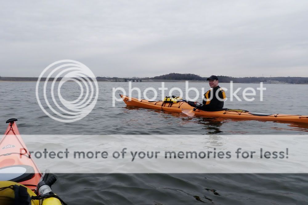
I stole the alternate post title from Jimmy, who claims we're having t-shirts made up with the statement/question on front and back. The paddle itself was a long time coming since we planned the excursion way back in July of last year. We even went so far as to make two scouting runs (see Early Morning Priest Paddle and Percy Priest Scouting Trip).

With a window of nice weather and some weekday time during spring break, we finally decided that all systems were go. On Monday, we dropped off Jimmy's vehicle at the Percy Priest Visitor's Center next to the dam, and V drove us down to the Mona launch on the East Fork of the Stones River. Jimmy and I had both done dry runs with all our gear, so we were loaded up and ready to go in pretty short order. We launched at 1:30 and had in front of us a roughly 12-mile paddle and a 5:48 sunset.

Percy Priest Overnight Trip


DAY ONE

Even though we launched in the river, we were still paddling flat water since Percy Priest Lake backs up well into the Stones. Navigating the channel offered scenic views of long rocky bluffs and encounters with a lot of fishermen. Aside from the one crazy silver-haired man who kept ripping past us, apparently in a quest to speed-fish the Stones, the fishermen were friendly and curious about our destination. One of my favorite parts of the trip involved their incredulous looks and surprised comments when we mentioned we were headed to the dam.

Jimmy pushed the pace on day one, and it was a good thing he did. When we got to an area he calls "Dobbins Pass" (there was an unpleasant incident with a ski boat and shallow water...'nuff said), we found winter pool to be so low that we would have to portage to stay on our intended route. Determined to paddle the entire way, we instead detoured north over the tip of the adjacent island—an addition that tacked on about 2.5 miles to our daily trip. As a result, we got to our campsite on River's Bend Island later than planned. We had just enough twilight to haul out the kayaks and pitch tents, and we wound up gathering wood in the dark. Thank goodness for head lamps.

Click pictures to enlarge.
Photobucket Photobucket

CAMP

Camp was a pretty simple affair—a couple of small tents, a couple of tripod stools, and a fire. Probably because it was off-season for campers, we found plenty of long lengths of drift wood right around our campsite and managed a better fire than I'd hoped. For dinner, we both went the Mountain House freeze-dried route, and we sat around the fire and talked till about 10. I slept better that night knowing that the longer portion of the trip was behind us.

Photobucket Photobucket

Up before dawn the next morning, I stoked the camp fire coals, added some remaining wood to the firepit, and got water boiling for coffee. Just across the lake, two turkeys woke up with the sun and started gobbling back and forth for a good 15 minutes or more. I had fun listening to their conversation while I prepared my freeze-dried omelette in a bag. After some breakfast and a quick breakdown of camp, we buried the remaining coals and hit the water around 7:30 for our 10-mile leg.

Photobucket Photobucket

DAY TWO

I set the pace on day two, feeling much better than I had the day before. Maybe it was the Advil Jimmy brought. Maybe it was the fact we only had ten more miles. For Jimmy though, I think attitude was just the opposite. His kayak, we found, suffered from a curved plastic skeg, and the entire trip, he had to paddle harder on the right to stay straight. After fifteen miles, he was already aggravated; the last ten just put salt in the wound. Clearly though, he earned the Determined Paddler Award and the nickname "One-Gun Jimmy," at least until his kayak is fixed.

We stopped a couple of times, once so Jimmy could filter some drinking water and again at the 171 bridge to grab a snack and filter more water. Nevertheless, we made good time, getting to the dam from our campsite in about three hours. We were able to see the dam just past the Anderson Recreation Area, and even though it was still three miles away, it added some incentive for the final push.

Regarding boat speeds, here are the totals: On day one, we paddled 14.5 miles in right at 5 hours (~2.9 mph). On day two, we paddled 10.5 miles in just under 3 hours (~3.5 mph). The latter speed is more indicative of what we've done with unloaded kayaks. Those numbers, of course, reflect stopped time as well. When moving, the Essences easily cruise between 4 and 5 mph.

Photobucket Photobucket Photobucket Photobucket
Photobucket Photobucket

GEAR NOTES

Below are a few observations about new gear and/or lessons about old gear...
  • Because of the cold water temperature, I purchased an NRS Farmer John wetsuit for this trip. It did a great job on day one of keeping me warm, and the sleeveless design gave me plenty of room for shoulder rotation. Even though I didn't have the gumption to put on the cold, wet garment on day two, I think it will be a useful piece of gear for paddles in late fall, winter, and early spring.
  • I also picked up two three-packs of Outdoor Products dry sacks. My larger dry bags work well for items like my tent, sleeping roll, and sleeping bag. The smaller dry sacks, however, make it much easier to organize, stow, and protect little items. My Perception Essence has a relatively small cargo hold just behind the cockpit, and these dry sacks fit into its portal without any fuss.
  • I learned an important lesson about my Garmin 60CSx handheld GPS. To compress data when saving a track, it strips away time information. So when I saved our track for day one and then cleared my active track log on day two, I lost all the time info for day one. I should have simply reset the mile counter on day two. Lesson learned. Fortunately, Jimmy's Garmin did retain the info.